The Harbourmasters Trail is the short answer to 'what should we do for an hour in Port Elliot?' It is a sealed 1.9-kilometre loop that starts in the main street, hugs the granite cliffs, and takes in a half-dozen bays, a restored 1830s whaling lookout and one of the top bodyboarding breaks in Australia - and you can keep walking east from there all the way to the Murray Mouth.
The short answer: the Harbourmasters Trail
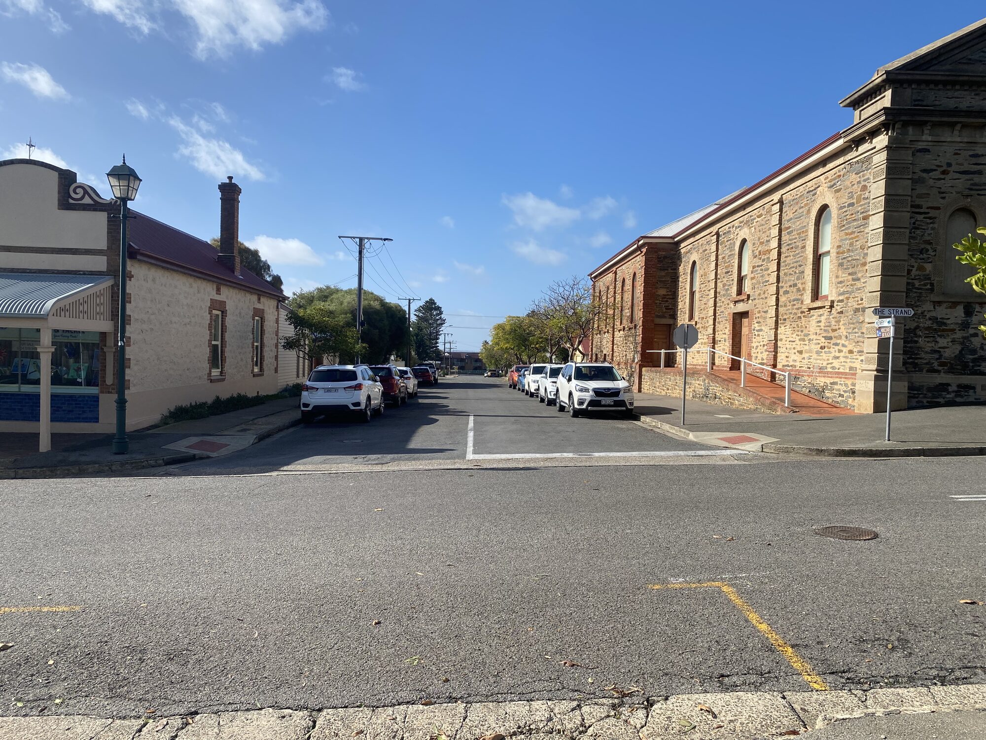
If somebody drops you in Port Elliot for an afternoon and asks what to do on foot, the answer is the Harbourmasters Walking Trail. It is a sealed, pram-friendly loop of about 1.9 kilometres that starts from a small car park off The Strand, hugs the granite clifftops, and delivers a greatest-hits tour of the town's coastline in under an hour.
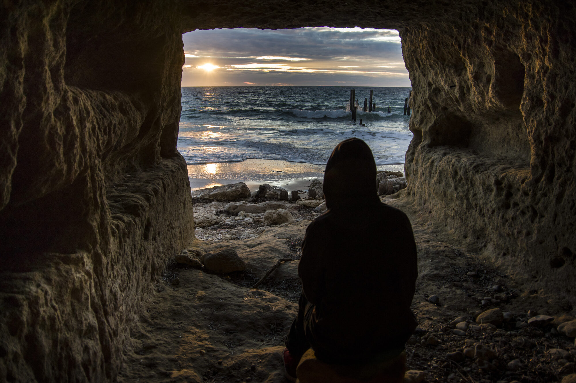
The trail is named for the original 1852 harbourmaster's cottage whose foundations are still visible near the start of the path. In that decade Port Elliot was a working seaport - the deep-water terminus of Australia's first public railway, completed in 1854 to carry Murray River cargo from Goolwa down to a jetty at Horseshoe Bay. The seaport era only lasted about a decade before the shifting swell and a run of shipwrecks convinced the colony to move its deep-water operations around the corner to Victor Harbor, but the cliff-top infrastructure - the lookout, the cottage foundations, the tramway alignments - is still there under the grass.
What you see on the loop
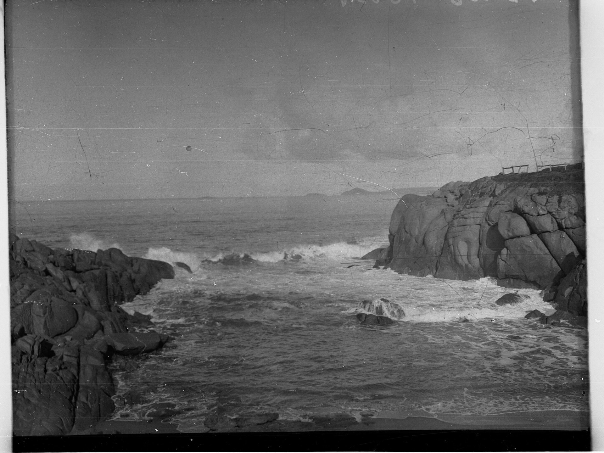
Walking clockwise from the car park, the path rounds Freemans Nob and arrives almost immediately at the restored Freeman Lookout and Obelisk. This grassy headland was a shore-based whaling lookout in the late 1830s - men stood here with spyglasses and watched for southern rights rounding Pullen Island. The bluestone obelisk was built later as a navigation marker. The whole lookout underwent a heritage restoration in 2023, with new drainage and a rebuilt stone staircase, and it is now one of the best winter whale-watching vantage points on the whole Encounter Coast. Between May and October, on a clear day, you can see the spouts from the top of the steps.
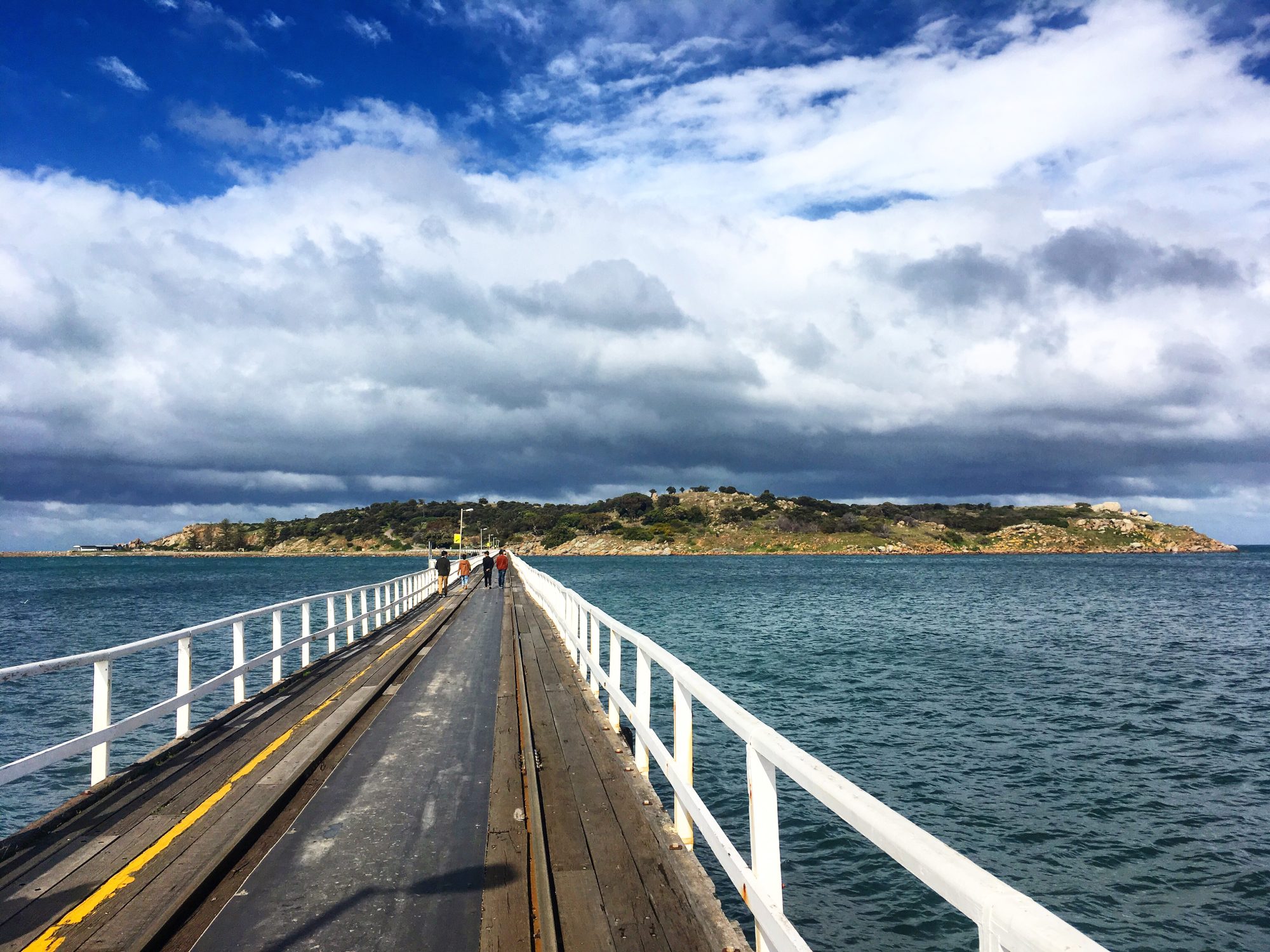
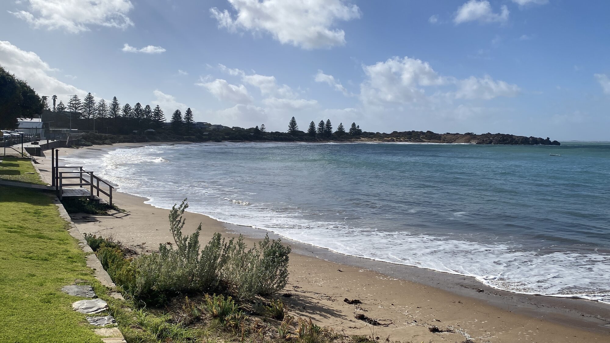
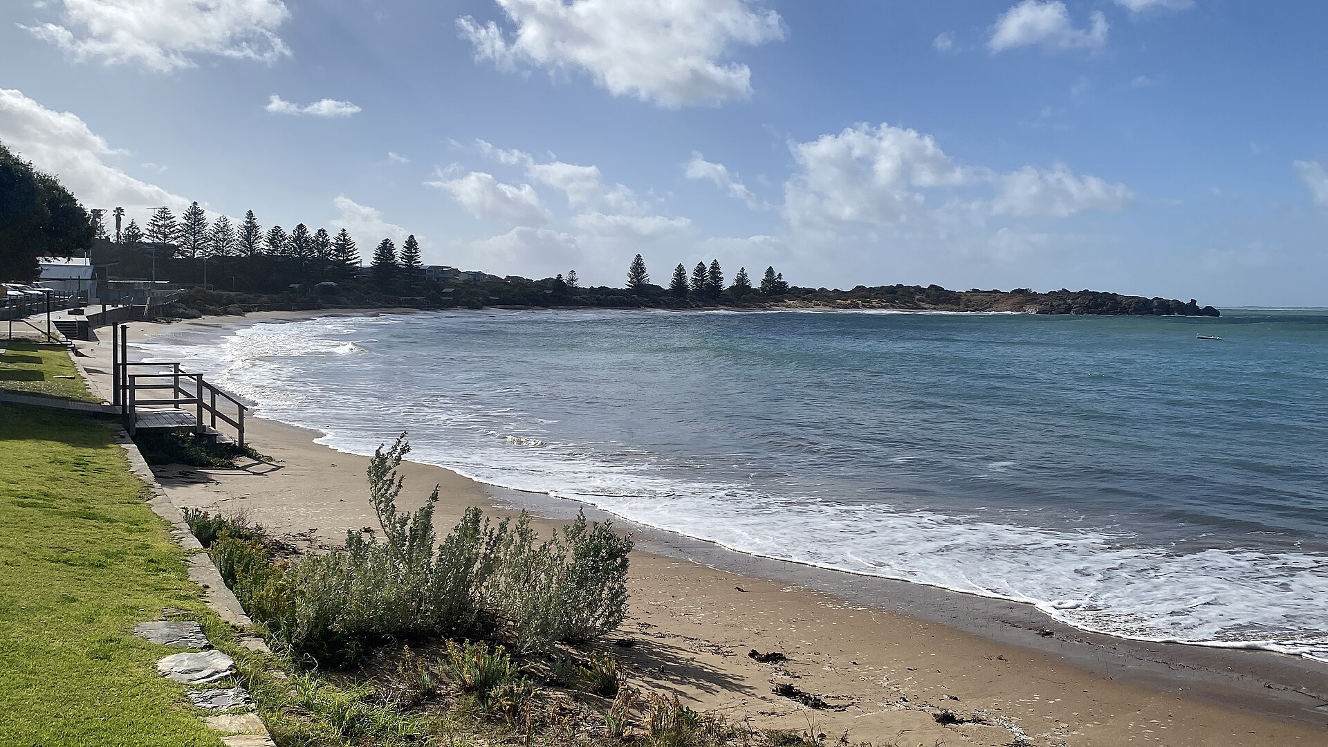
From Freeman, the path drops around the headland and opens up the view of Horseshoe Bay itself - a near-perfect curve of sand between two sandstone headlands, with the small granite outcrop of Pullen Island anchoring the eastern end. Pullen is a seal haul-out and a cormorant roost; experienced swimmers occasionally make it out there on a flat day, but the channel between the bay and the island is more exposed than it looks.
The trail then pushes east along the cliff line past a succession of smaller coves: Lady Bay, Rocky Bay, and the hidden pocket of Green Bay, a narrow 200-metre inlet wedged between granite headlands that most visitors walk straight past. Green Bay is the locals' swim-and-snorkel cove on calm days - clear water, sheltered rocks, minimal facilities. On a rough day it is the best place on the loop to watch the swell explode on the granite.
A few hundred metres further east, the trail reaches Knights Beach - an exposed reef break that has been rated one of the top ten bodyboarding waves in the world when a south-southeast groundswell lines up with a northerly offshore wind. On smaller days it is a decent family swim. On big days it is a grandstand: surfers, photographers and locals gather on the clifftop above the beach to watch.
The loop closes at the top of the steps above Boomer Beach, named for the deep booming sound its waves make as they break onto the reef. You can hear Boomer from inside the town on a southerly swell. The trail then cuts inland through a reserve and returns to the start at the top of The Strand.
The longer east-coast walk: to Basham, Middleton and Goolwa
If the Harbourmasters loop is not enough, the coastline keeps going. From the eastern end of the Knights Beach section, the clifftop path continues east along the Encounter Bikeway - a sealed shared-use trail that tracks the coast all the way through Chiton Rocks, Basham Beach Regional Park, the Middleton beachfront and on to Goolwa Beach, finishing at the Murray Mouth.
The full distance from Port Elliot to Goolwa is about nine kilometres each way. It is flat, sealed throughout, and suitable for walkers, runners and cyclists. The highlights are:
- Chiton Rocks - a reef break that has held a Surf Life Saving Club since 1950 and hosts competitions through summer.
- Basham Beach - a quiet foreshore inside a regional park, with rock pools at the eastern end and a wide carpark that rarely fills.
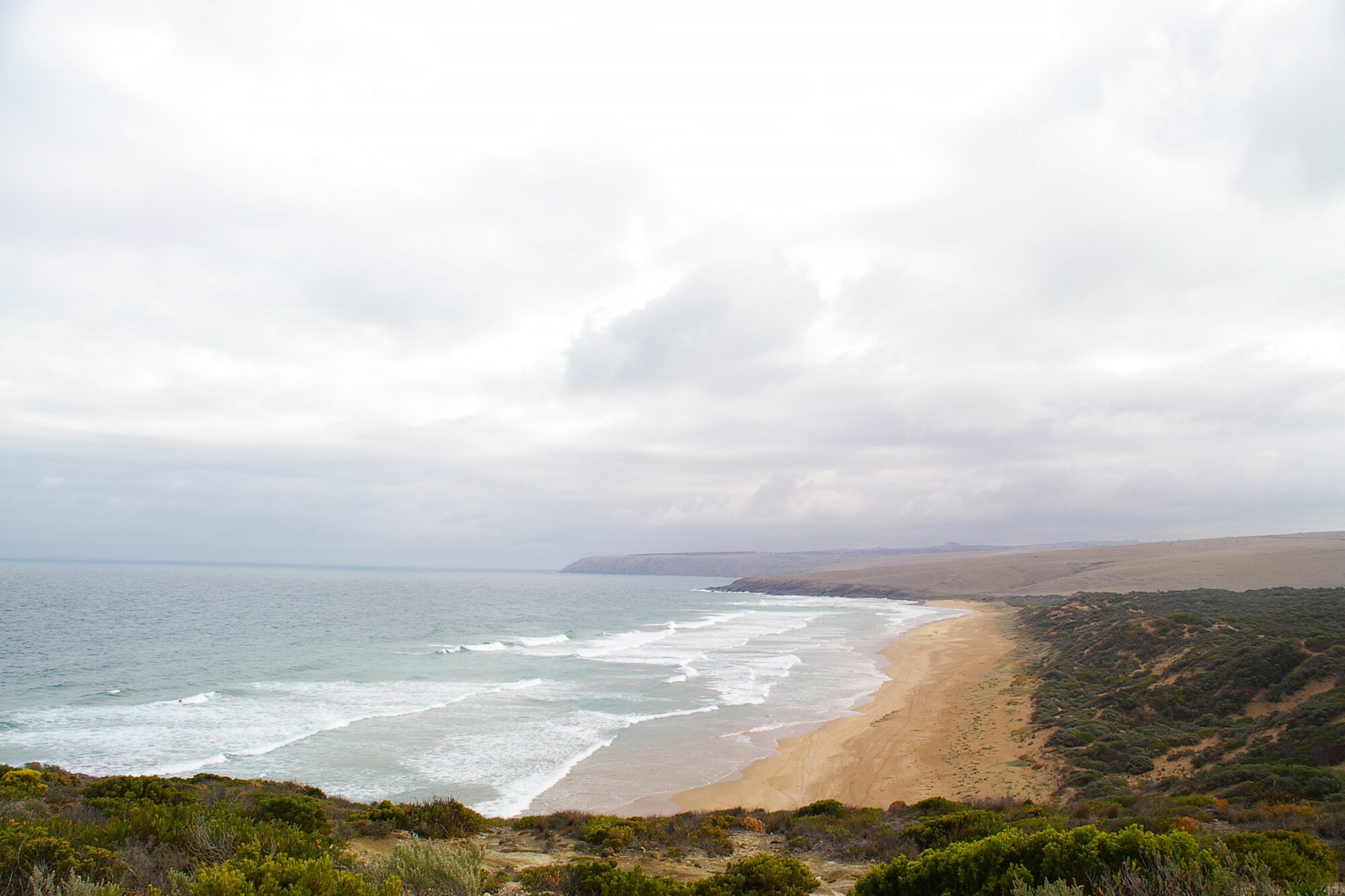
- Middleton - a longer beach with a consistent surf break and the best beginner wave on the Fleurieu.
- Goolwa Beach - a kilometres-long stretch of sand that opens onto the Murray Mouth at its north-eastern end, where the Murray River finally reaches the sea.
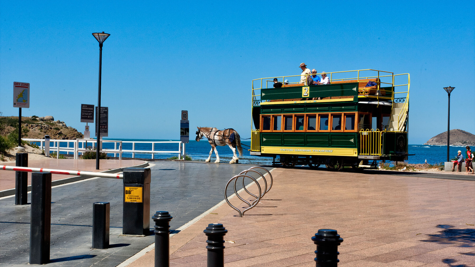
Most visitors walk one-way and shuttle back by bike, car or the Cockle Train - the heritage steam railway that runs along the same corridor between Goolwa and Victor Harbor via Port Elliot on most weekends and during school holidays.
Where to park and start
The Harbourmasters Trail has car parks at both ends. The most obvious trailhead is at the top of The Strand, a short walk from Port Elliot Bakery and the main street cafes. A second car park sits behind the Port Elliot Historic Railway and Seaport Centre on Rosetta Street - the 1853 timber-framed railway station that now houses the National Trust museum. If you want the history before the walk, start at the museum; it tells the story of the seaport years and the horse-drawn tramway in exactly enough detail to make the cliff-top foundations mean something when you reach them.
Public toilets, picnic shelters and a good drinking fountain are at the Horseshoe Bay car park. Cockles Cafe is right there. Two doors down The Strand, Jetty Food Store does one of the best takeaway lunches on this stretch of coast.
Weather, safety and what to wear
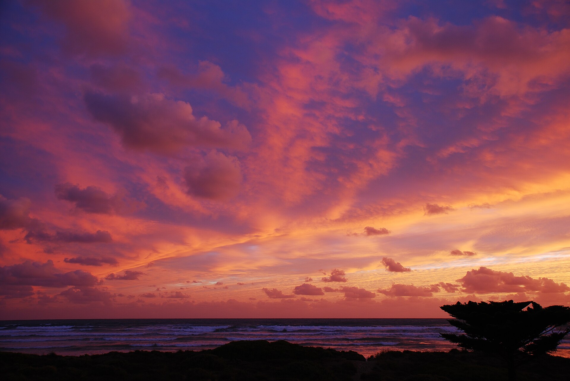
The Encounter Coast runs exposed south-west to south-east and the wind picks up fast. On a southerly gale the cliff sections can be uncomfortable and the swell explodes into spray that reaches the trail. Check the marine forecast if you want the gentler experience - mornings are usually calmer than afternoons, and the first three months of autumn (March-May) are the sweet spot on the whole peninsula.
The trail itself is sealed, low-gradient and safe for prams and wheelchairs on the main loop. The optional stair descents to Horseshoe Bay, Green Bay and Knights Beach are steep and occasionally slippery after rain. Shoes with some grip matter more than the rest of your kit.
In winter, pack binoculars. Whale traffic between May and October is the real reason to walk the loop in that season, and the Freeman Lookout is one of the two or three best shore-based vantage points in South Australia.
Making a day of it
The walk itself is about an hour. But Port Elliot rewards lingering. Add:
- A coffee and a pie at Port Elliot Bakery, which has been on the main street for more than fifty years.
- A slow browse at Elliot Books, South Seas Books and Trading and Callan's Collectables - the three secondhand bookshops on the main street make for an hour on their own.
- Lunch or a beer on the verandah at Hotel Elliot, the 1855 pub that has been serving since the seaport years.
- A detour to the Port Elliot Historic Railway and Seaport Centre for the full 1853-1864 port story.
- If you are here on the first or third Saturday of the month, the Middleton Market five minutes east is a small, genuine farmers-and-makers market worth the short drive.
For somewhere this size, the town has an unusual density of things worth doing. The walk is the frame that holds it all together.
Places mentioned

Horseshoe Bay
Port Elliot

Port Elliot Bakery
Port Elliot
Hotel Elliot
Port Elliot
Boomer Beach
Port Elliot
Middleton Beach
Port Elliot
Freeman Lookout and Obelisk
Port Elliot
Port Elliot Historic Railway and Seaport Centre
Port Elliot
Harbourmasters Walking Trail
Port Elliot
Green Bay
Port Elliot
Knights Beach
Port Elliot
Cockles Cafe
Port Elliot
Jetty Food Store
Port Elliot
Chiton Rocks
Port Elliot
Basham Beach
Port Elliot
South Seas Books and Trading
Port Elliot
Elliot Books
Port Elliot
Callan's Collectables
Port Elliot

Pullen Island
Port Elliot