On 8 April 1802, two ships flying flags of opposing empires sighted each other off the Fleurieu coast. The British and French commanders had been mapping the same stretch of unknown coastline for months without knowing the other was there. The bay where they met has been called Encounter Bay ever since.
Two ships and an unknown coast
In the autumn of 1802, the southern coast of the Australian continent between Cape Leeuwin in the west and the head of the Great Australian Bight in the east was still essentially unknown to European cartographers. The Dutch had charted a small section near the western end. James Cook had run up the east coast in 1770. Everything between - including most of what is now the South Australian coast - was a blank line on the maps of London and Paris.
In 1801, two expeditions left their respective home ports within months of each other to fill in that blank line. The British expedition, under the 28-year-old navigator Matthew Flinders, sailed in HMS Investigator. The French expedition, under Captain Nicolas Baudin, was a much larger scientific operation in two ships - Le Géographe and Le Naturaliste - with a complement of botanists, zoologists, mineralogists, anthropologists and artists. Both expeditions had the same primary mission: produce a complete chart of the southern Australian coastline. Neither was officially aware that the other was sailing.
(In practice both governments knew about each other's expeditions. Britain and France were briefly at peace in 1802 - the Treaty of Amiens had been signed in March of that year - and the British Admiralty had granted Baudin's expedition a passport guaranteeing scientific neutrality. But the captains in the field had no way of communicating with London or Paris and largely worked as if the other did not exist.)
Flinders coming east
Flinders entered the Great Australian Bight from the west in early 1802 and worked his way along the coast charting as he went. By March he had mapped the eastern half of the bight. By the start of April he was in the Spencer Gulf, naming as he went - Port Lincoln, Yorke Peninsula, the Investigator Group. He completed the loop of Spencer Gulf and crossed into Gulf St Vincent in early April. From the head of Gulf St Vincent he turned south down the Fleurieu coast - past what would later be called Sellicks Beach, Maslin, Aldinga, Cape Willoughby - mapping the western coast of the Peninsula as he went.
Baudin coming west
Baudin had taken the long way around. He had spent the southern summer of 1801-1802 working along the coast of Tasmania and the south-east coast of the mainland (much of which was already charted by earlier voyages). By March 1802 his ships were rounding the south-east corner of the continent and starting to work west. By early April Le Géographe was somewhere off the south coast of what would later be called the Coorong, slowly heading west toward the same Gulf St Vincent that Flinders was descending from the north.
Neither captain knew the other was within several thousand kilometres.
The meeting, 8 April 1802
On the morning of 8 April 1802, both ships were in the bay south of the Fleurieu Peninsula. Flinders, in the Investigator, was working east along the southern coast of the Peninsula, having rounded Cape Jervis the previous day. Baudin, in Le Géographe, was working west and had just rounded Kangaroo Island.
At some point in the morning, the lookouts on each ship spotted a sail on the horizon. There was a brief moment of confusion and tension - both captains assumed for several minutes that they were looking at an enemy. Flinders ordered his crew to quarters, the guns were loaded, and the British colours were raised. The French ship, identifiable now by its silhouette and rigging, raised the tricolour. The two ships approached each other cautiously and hove to within hailing distance off what would later be called The Bluff (Rosetta Head).
The meeting that followed was extraordinarily civilised. Flinders spoke no French; Baudin's English was poor. They communicated via a French-speaking botanist on the Investigator (Robert Brown) and English-speaking officers on Le Géographe. Flinders boarded Le Géographe and the two captains spent several hours comparing notes, exchanging information about the coastline they had each charted, and pooling their best estimates of where the unmapped sections lay.
This was not standard wartime behaviour for two captains of opposing empires. Both Flinders and Baudin understood themselves as scientific explorers first and naval officers second. Both were willing to trust each other in the unspoken assumption that geographic knowledge was a shared good that should not be hoarded behind national lines. Flinders later wrote in his journal that the meeting had been useful and entirely cordial, and that Baudin had freely shared his charts of the south-east coast in exchange for Flinders' charts of the western and southern coasts.
What they named it
The two ships parted company that afternoon. Flinders continued east toward what would later be called Encounter Bay, naming it after the meeting that had just taken place. Baudin continued west toward what would later be called Spencer Gulf, where he would spend the next several weeks doing his own work.
The Encounter Bay name has stuck for more than two centuries. The town of Encounter Bay sits on the bay today. The Encounter Coast is the name commonly used for the southern coastline of the Fleurieu Peninsula from Goolwa to Cape Jervis. The town of Victor Harbor was named (with the wrong spelling) after Captain Sir Richard Crozier's HMS Victor in 1837, but the bay itself is named after the day in April 1802 when two captains, who had every reason to be enemies, decided to be colleagues instead.
What happened next
The two expeditions had very different fates after Encounter Bay. Flinders went on to complete the first full circumnavigation of the Australian continent and produce the first comprehensive chart of its coastline. He was captured and held by the French at Mauritius on his way home and did not return to England until 1810, by which time the Treaty of Amiens had collapsed and France and Britain were at war again. He published his great work A Voyage to Terra Australis in 1814 and died the same day it appeared in print.
Baudin's expedition was scientifically magnificent - the French ships brought back tens of thousands of specimens and many of the first detailed European descriptions of Australian plants, animals and Indigenous people - but Baudin himself died of tuberculosis at Mauritius in 1803 on the return voyage, and the French maps were largely overshadowed by Flinders' chart when it appeared.
At Encounter Bay today, the Bluff stands above the bay where the meeting happened. There is a small interpretive sign at the foot of the granite dome. The two ships are gone, the captains are gone, the Treaty of Amiens that briefly made it possible for them to talk to each other lasted barely a year. But the name on the bay is still the name they gave it.
Places mentioned

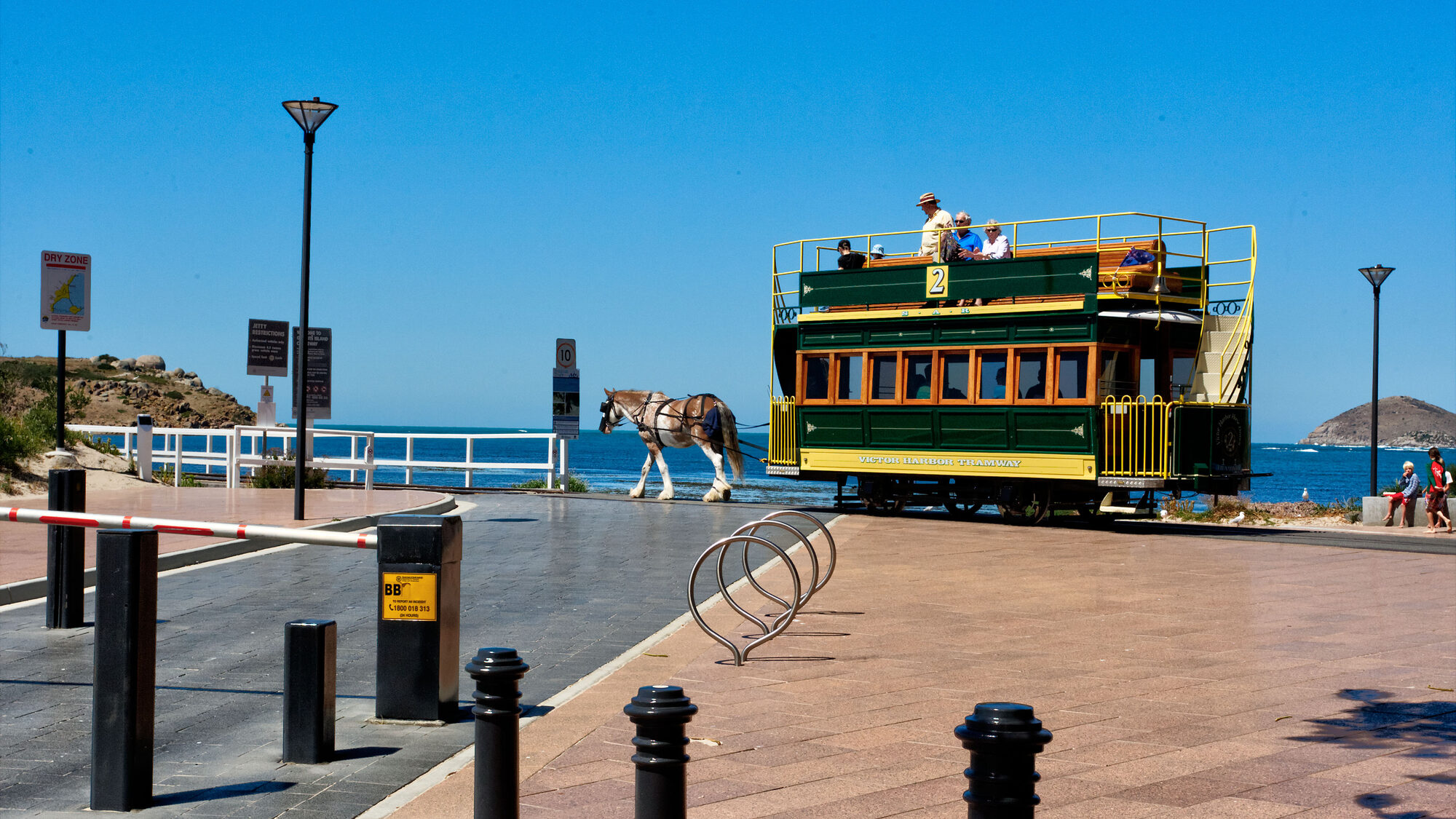
Victor Harbor Horse Drawn Tram
Victor Harbor

South Australian Whale Centre
Victor Harbor

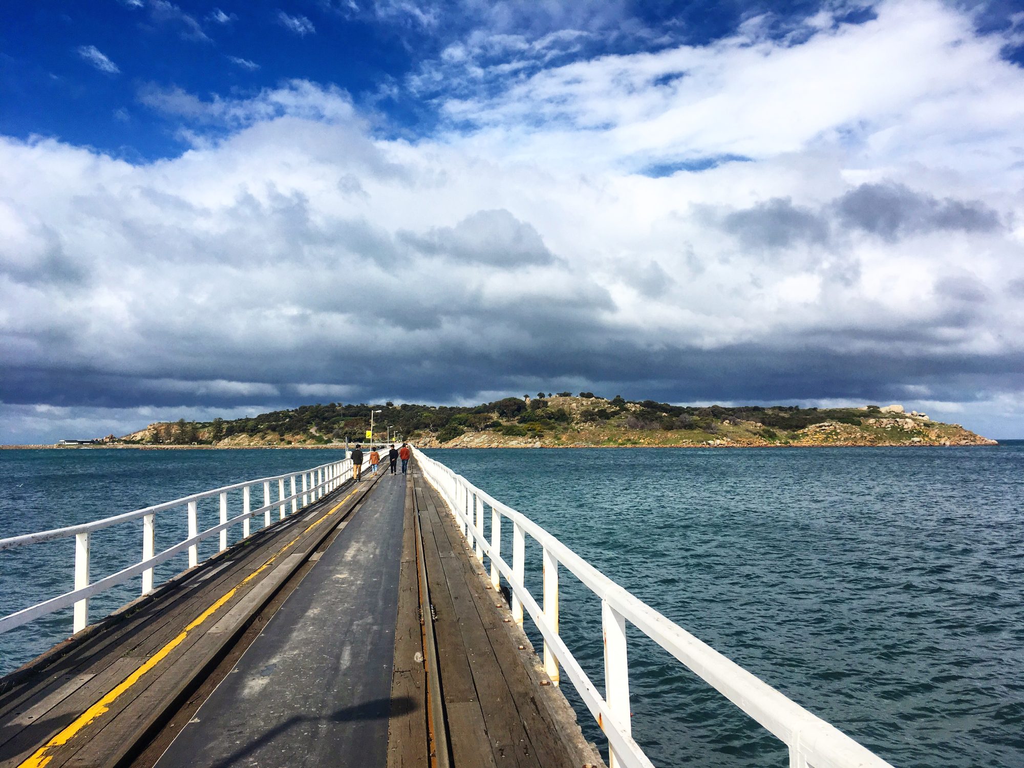
Granite Island
Victor Harbor

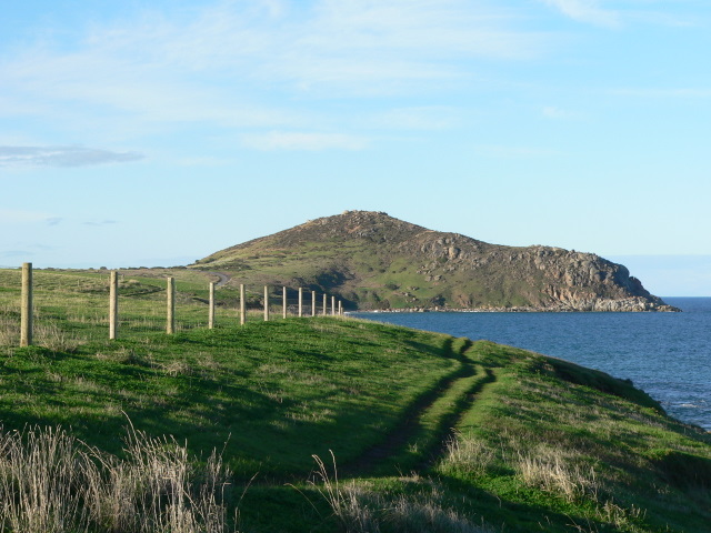
The Bluff (Rosetta Head)
Victor Harbor

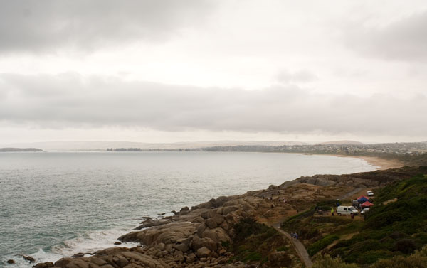
Encounter Bay
Victor Harbor
Whalers Inn
Victor Harbor