
Port Noarlunga
One of the most iconic beaches on the Fleurieu - a long, sheltered bay framed by ochre cliffs, a 1921 timber jetty, and the Port Noarlunga Reef just offshore.
The beach at the Onkaparinga mouth
Port Noarlunga is where the Onkaparinga River meets Gulf St Vincent. The long, sheltered curve of sand is protected from the south by a sandstone headland and from the west by the Port Noarlunga Reef - a 1.6km offshore reef that's a protected aquatic reserve and one of the best shore-based snorkelling sites in South Australia.
The jetty and the reef
The Port Noarlunga jetty, originally built in 1855 and rebuilt in its current form in 1921, stretches out to the reef. You can walk the length of it for the view back to the cliffs, or drop in a line off the end. Underwater, the reef is home to leafy seadragons, blue groper, schools of old wives and the occasional Port Jackson shark.
Swimming and families
The beach itself is patrolled by the Port Noarlunga SLSC in season, has a kiosk, playground and picnic shelters at the northern end, and a long walking path along the top of the cliffs toward Christies Beach.
Find it on the map
Good to know
Got a photo of Port Noarlunga?
Share your best shot. If we use it in the gallery, you'll be credited by name. Photos are reviewed before going live.
Last verified 3 months ago
Within a short drive
Places within 5km of Port Noarlunga


You might also like
Similar experiences across Fleurieu Peninsula
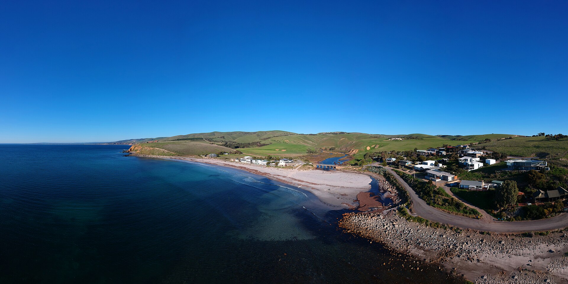
Image credits
- Port Noarlunga by Mike Wilson , CC0 via Wikimedia Commons