From the Cape Jervis ferry terminal to a remote gorge in the northern Flinders Ranges, the Heysen Trail is one of Australia's longest walking trails. The Fleurieu has its first hundred kilometres.
On a wooden post in the carpark of the SeaLink ferry terminal at Cape Jervis there is a small red and white marker. Most of the people walking past it are heading for the boat to Kangaroo Island. They miss the marker entirely. Which is a pity, because it is the southern end of one of the most ambitious walking trails in Australia.
The Heysen Trail runs 1,200 kilometres north from that post, through Deep Creek National Park, across the Mount Lofty Ranges, through the Barossa, up over Mount Remarkable and into the heart of the Flinders Ranges - finishing at Parachilna Gorge, deep in the country that gave the trail its name.
Who was Hans Heysen?
The trail is named for Sir Hans Heysen, the German-born Australian landscape painter who arrived in South Australia as a child and spent most of his working life painting the country between the Adelaide hills and the Flinders Ranges. Heysen's gum trees - massive, gnarled, lit from behind by the late afternoon sun - became one of the defining images of the Australian landscape in the twentieth century. He was knighted in 1959. His daughter Nora became Australia's first official war artist. The family home at Hahndorf, The Cedars, is now a public gallery.
The trail was named after him because so much of it passes through the country he painted. To walk the Heysen is, in a small way, to walk inside one of his pictures.
The C. Warren Bonython idea
The trail itself was the brainchild of an extraordinary South Australian named Cyril Warren Bonython - engineer, conservationist, mountaineer and walker. In 1969, Bonython proposed a long-distance walking trail running from the Mount Lofty Ranges all the way to the Flinders. He had walked most of the proposed route himself. He partnered with the parks ranger Terry Lavender, lobbied state government for the funding to mark and maintain it, and helped found the Friends of the Heysen Trail, the volunteer organisation that to this day looks after most of the route.
The trail was constructed in stages through the 1970s and 1980s. The full route was opened in 1992.
Walking it
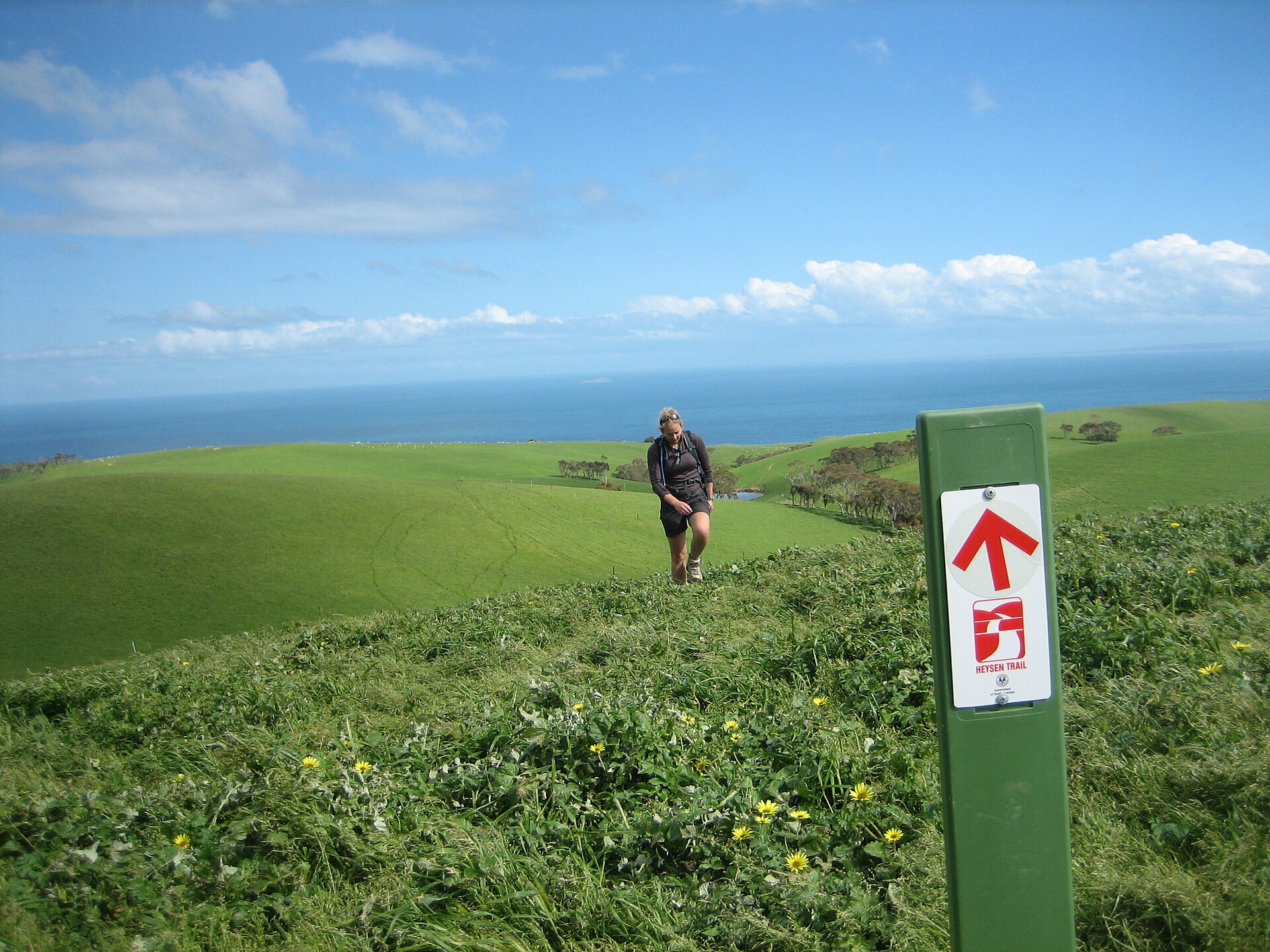
The trail is marked with red and white rectangular blazes on posts, fence-posts and tree trunks. There are also directional arrows at junctions. Most walkers do it in sections rather than end-to-end - a weekend or a week at a time, picking off the best bits.
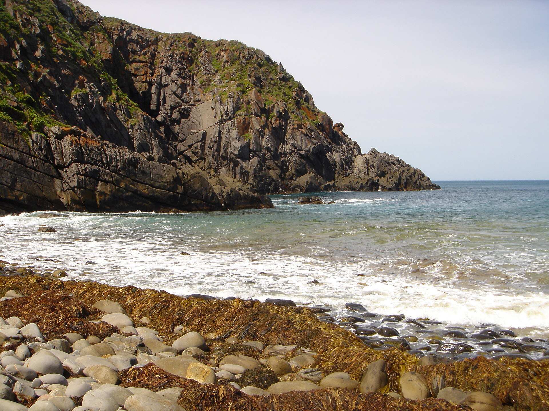
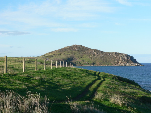
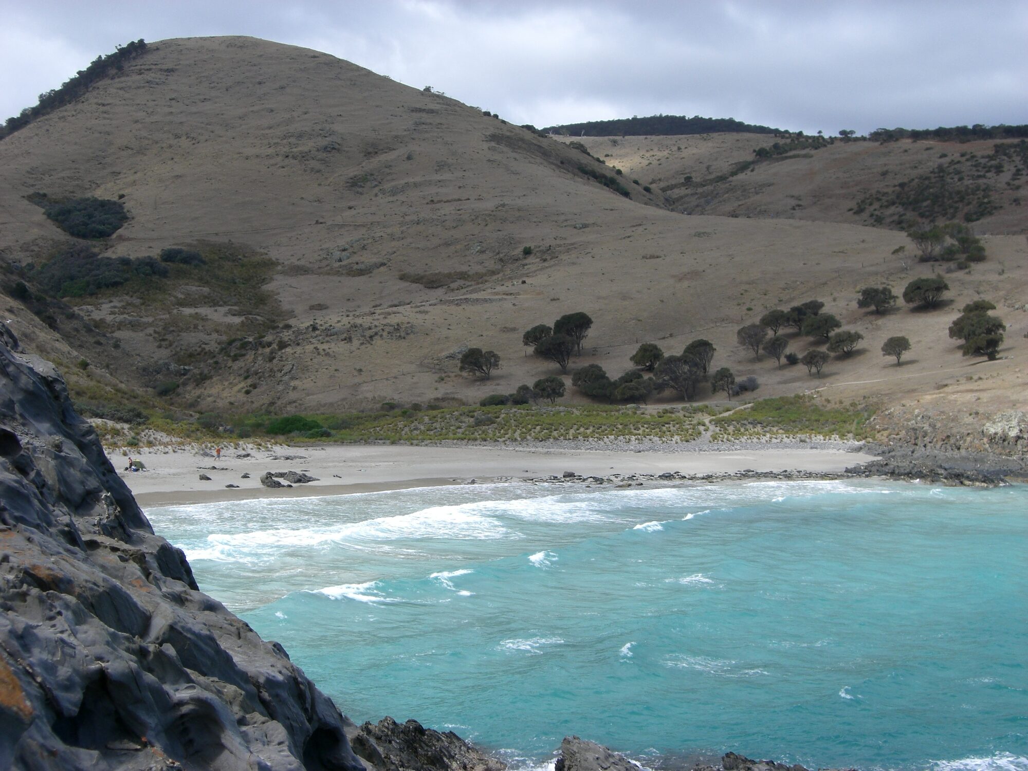
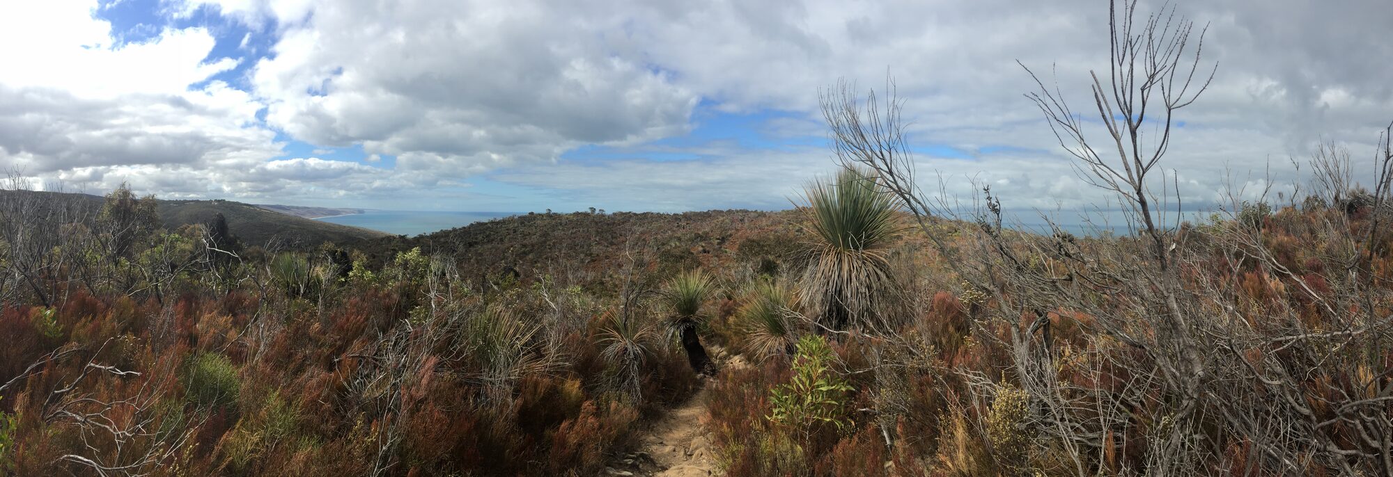
The Fleurieu Peninsula sections are some of the most accessible. Starting at the Cape Jervis trailhead, the first day is a 12.5km walk to Cobbler Hill in Deep Creek National Park. From Cobbler Hill the trail crosses some of the most spectacular coastal cliffs on the peninsula, drops down to Blowhole Beach, climbs back out, and continues east through the rolling hill country toward Inman Valley and Mount Compass.
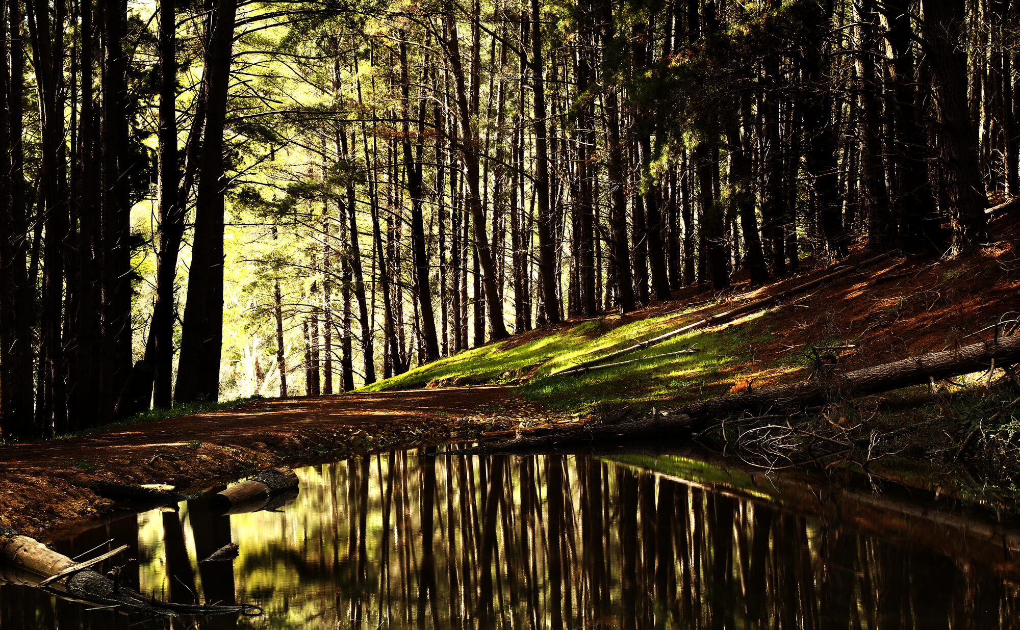
From there the trail moves inland - across the Inman Valley, into Kuitpo Forest, through the Adelaide Hills and out into the wheat country on the way to the Barossa.
When to walk
The trail is officially closed from 1 December to 30 April every year because of bushfire risk. The walking season is therefore May to November. May, June and September are the sweet spots: cool days, some rain, wildflowers in spring. July and August are reliably cold and wet but the trails are quiet. Avoid hot windy days even in shoulder season - the country burns fast.
What to know before you go
- Maps - Walking SA publishes a series of map booklets covering the trail in sections. The Cape Jervis to Mount Compass map is the one you want for the Fleurieu.
- Water - carry it, all of it. There is very little reliable water on the trail.
- Camping - basic walk-in campsites at Cobbler Hill, Tapanappa, Trig and others. Bookings via Parks SA.
- Friends of the Heysen Trail - the volunteer body that maintains the trail. Their website is the best source of current closures and trail conditions.
- The whole thing - if you are seriously considering walking the entire 1,200km, plan for 60-65 days. Most people do it in sections over many years.
Places mentioned
Heysen Trail - Cape Jervis Trailhead
Cape Jervis

Waitpinga Cliffs Walk
Victor Harbor

Deep Creek National Park
Cape Jervis

Glacier Rock (Selwyn Rock)
Inman Valley

Blowhole Beach
Cape Jervis

Kuitpo Forest
Willunga