Talisker Conservation Park
A 212-hectare bushland reserve at the south-western tip of the Fleurieu, with an interpretive trail through the ruins of the 1860s Talisker silver-lead mine.
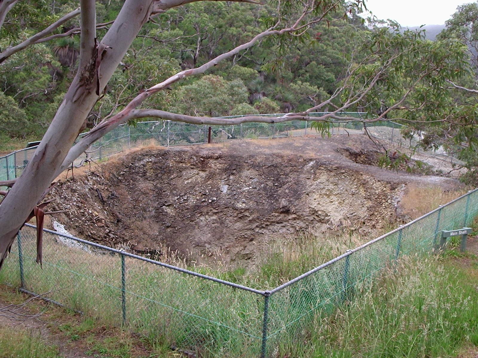
A mine in the bush
Talisker Conservation Park sits adjacent to Deep Creek Conservation Park near the southern tip of the Peninsula, and protects 212 hectares of bushland centred on the ruins of the Talisker silver-lead mine - a Cornish-style mine that operated through the 1860s and 1870s and gave the now-vanished town of Silverton its reason for existing.
The interpretive trail
A short, well-signed loop trail (about an hour return) leads from the carpark through the bush and past the surviving mine ruins - the chimney stack, engine house foundations, miner's cottages and adits. Interpretive signs along the trail tell the story of the mine and the Cornish miners who worked it.
Wildlife
The park sees the same suite of Fleurieu species as Deep Creek next door - western grey kangaroos, echidnas, possums, and a long list of bushland birds.
Find it on the map
Good to know
Got a photo of Talisker Conservation Park?
Share your best shot. If we use it in the gallery, you'll be credited by name. Photos are reviewed before going live.
Last verified 1 month ago
Within a short drive
Places within 5km of Talisker Conservation Park
You might also like
Similar experiences across Fleurieu Peninsula

Image credits
- Talisker Conservation Park open cut.JPG by Foraminifera , CC BY-SA 3.0 via Wikimedia Commons